Bridleway, West Knoyle
Introduction
The photograph on this page of Bridleway, West Knoyle by Andrew Smith as part of the Geograph project.
The Geograph project started in 2005 with the aim of publishing, organising and preserving representative images for every square kilometre of Great Britain, Ireland and the Isle of Man.

There are currently over 7.5m images from over 14,400 individuals and you can help contribute to the project by visiting https://www.geograph.org.uk
Bridleway, West Knoyle
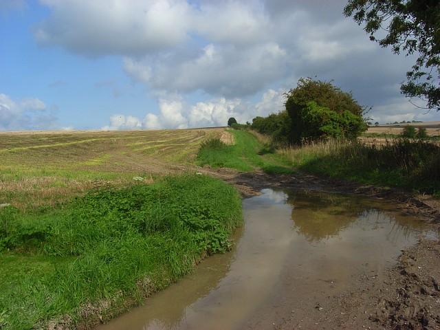
Image: © Andrew Smith Taken: 13 Sep 2008
The path connects West Hill Farm and the A303. Wet weather had led to it being very muddy, exacerbated by farm vehicles accessing fields.
Images are licensed for reuse under creativecommons.org/licenses/by-sa/2.0
Image Location
Latitude
51.095195
Longitude
-2.222718