Maidenhead Flood Relief Channel between Bray and Bray Wick
Introduction
The photograph on this page of Maidenhead Flood Relief Channel between Bray and Bray Wick by Nigel Cox as part of the Geograph project.
The Geograph project started in 2005 with the aim of publishing, organising and preserving representative images for every square kilometre of Great Britain, Ireland and the Isle of Man.

There are currently over 7.5m images from over 14,400 individuals and you can help contribute to the project by visiting https://www.geograph.org.uk
Maidenhead Flood Relief Channel between Bray and Bray Wick
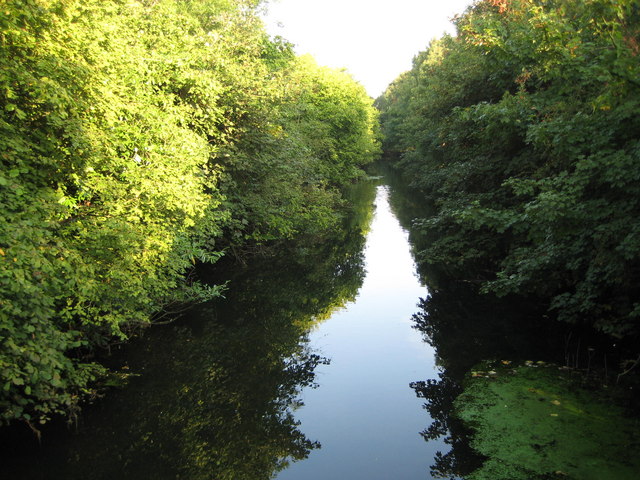
Image: © Nigel Cox Taken: 14 Sep 2008
Made virtually redundant now by the construction of the Jubilee River, this is the downstream end of the channel shortly before its confluence with The Cut. Photographed here looking upstream and back towards Maidenhead from the Causeway footbridge it is now a quiet backwater. The channel itself was built by the then responsible body, the Thames Conservancy, after the damaging floods of 1947 were followed by further localized flooding in Maidenhead in 1954.
Images are licensed for reuse under creativecommons.org/licenses/by-sa/2.0
Image Location
Latitude
51.508197
Longitude
-0.706743