Pavement, Morland Road, Shirley
Introduction
The photograph on this page of Pavement, Morland Road, Shirley by Jim Champion as part of the Geograph project.
The Geograph project started in 2005 with the aim of publishing, organising and preserving representative images for every square kilometre of Great Britain, Ireland and the Isle of Man.

There are currently over 7.5m images from over 14,400 individuals and you can help contribute to the project by visiting https://www.geograph.org.uk
Pavement, Morland Road, Shirley
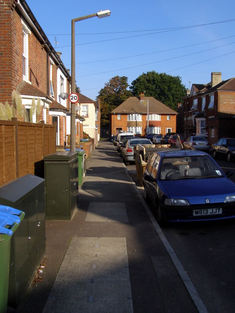
Image: © Jim Champion Taken: 21 Sep 2008
Looking north along the pavement on the west side of Morland Road. The 20mph sign on the lamp-post is a recent addition, a result of this area around the junior school being designated a 20mph zone. At the end of the road is the junction with Shayer Road.
Images are licensed for reuse under creativecommons.org/licenses/by-sa/2.0
Image Location


Leaflet Map data © OpenStreetMap
Latitude
50.927739
Longitude
-1.427385