Remains of former village school, Sling
Introduction
The photograph on this page of Remains of former village school, Sling by mick finn as part of the Geograph project.
The Geograph project started in 2005 with the aim of publishing, organising and preserving representative images for every square kilometre of Great Britain, Ireland and the Isle of Man.

There are currently over 7.5m images from over 14,400 individuals and you can help contribute to the project by visiting https://www.geograph.org.uk
Remains of former village school, Sling
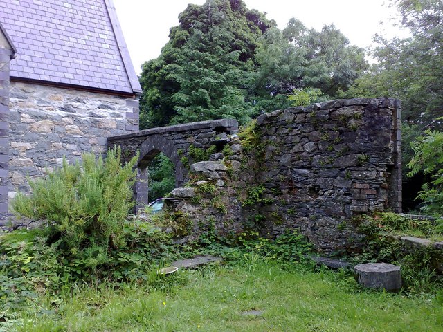
Image: © mick finn Taken: 8 Aug 2008
Adjoining the former schoolmaster's house, the gateway and walls were part of the former village school. At the other side of the driveway, to the right of the wall, the land falls sharply away but with a public footpath to the road below leading to Sling.
Images are licensed for reuse under creativecommons.org/licenses/by-sa/2.0
Image Location
Latitude
53.177212
Longitude
-4.091739