The schoolmaster's house at Sling, Gwynedd
Introduction
The photograph on this page of The schoolmaster's house at Sling, Gwynedd by mick finn as part of the Geograph project.
The Geograph project started in 2005 with the aim of publishing, organising and preserving representative images for every square kilometre of Great Britain, Ireland and the Isle of Man.

There are currently over 7.5m images from over 14,400 individuals and you can help contribute to the project by visiting https://www.geograph.org.uk
The schoolmaster's house at Sling, Gwynedd
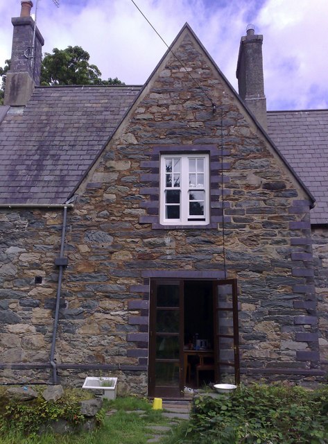
Image: © mick finn Taken: 8 Aug 2008
Llain-y-ffynnon (translates, so I'm told, as 'place near a well' or 'place to prosper'. Suggestions welcome). It is the old schoolmaster's house, which stands on the hills above Sling, with magnificent views of Penrhyn Castle, the Menai Strait and Puffin Island below. The old school is a ruin, forming part of the garden.
Images are licensed for reuse under creativecommons.org/licenses/by-sa/2.0
Image Location
Latitude
53.177212
Longitude
-4.091739