Cycle Trail Bridge
Introduction
The photograph on this page of Cycle Trail Bridge by Tony Atkin as part of the Geograph project.
The Geograph project started in 2005 with the aim of publishing, organising and preserving representative images for every square kilometre of Great Britain, Ireland and the Isle of Man.

There are currently over 7.5m images from over 14,400 individuals and you can help contribute to the project by visiting https://www.geograph.org.uk
Cycle Trail Bridge
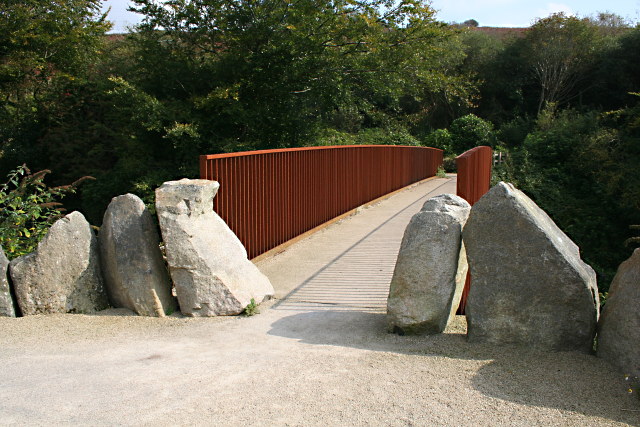
Image: © Tony Atkin Taken: 21 Sep 2008
This bridge takes one of the Clay Trails cycleways over the road along the St Austell River valley.
Images are licensed for reuse under creativecommons.org/licenses/by-sa/2.0
Image Location


Leaflet Map data © OpenStreetMap
Latitude
50.358014
Longitude
-4.800019