Iford Court
Introduction
The photograph on this page of Iford Court by Simon Carey as part of the Geograph project.
The Geograph project started in 2005 with the aim of publishing, organising and preserving representative images for every square kilometre of Great Britain, Ireland and the Isle of Man.

There are currently over 7.5m images from over 14,400 individuals and you can help contribute to the project by visiting https://www.geograph.org.uk
Iford Court
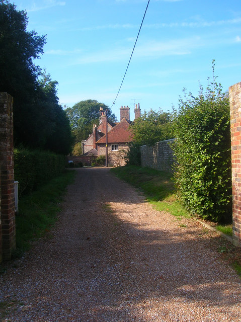
Image: © Simon Carey Taken: 21 Sep 2008
Actually the rear of Iford Manor constructed in the 1830s. In the 1980s the house was subdivided, the front part remains Iford Manor the rear is now Iford Court. Viewed from the entrance onto the village street.
Images are licensed for reuse under creativecommons.org/licenses/by-sa/2.0
Image Location
Latitude
50.846993
Longitude
-7.1E-5