Park Crescent
Introduction
The photograph on this page of Park Crescent by Martin Addison as part of the Geograph project.
The Geograph project started in 2005 with the aim of publishing, organising and preserving representative images for every square kilometre of Great Britain, Ireland and the Isle of Man.

There are currently over 7.5m images from over 14,400 individuals and you can help contribute to the project by visiting https://www.geograph.org.uk
Park Crescent
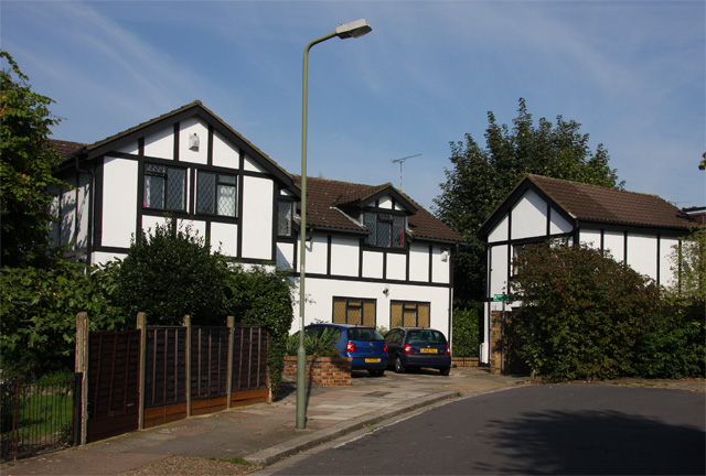
Image: © Martin Addison Taken: 20 Sep 2008
A rather angular expression of mock tudor housing at the end of Park Crescent. I wonder if the house on the right was originally a garage, but someone lives there now. The sign for the footpath to Bow Lane is just visible by the bushes on the right.
Images are licensed for reuse under creativecommons.org/licenses/by-sa/2.0
Image Location
Latitude
51.605327
Longitude
-0.17921