Burial Mound
Introduction
The photograph on this page of Burial Mound by Trevor Harris as part of the Geograph project.
The Geograph project started in 2005 with the aim of publishing, organising and preserving representative images for every square kilometre of Great Britain, Ireland and the Isle of Man.

There are currently over 7.5m images from over 14,400 individuals and you can help contribute to the project by visiting https://www.geograph.org.uk
Burial Mound
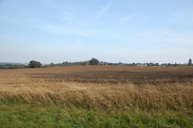
Image: © Trevor Harris Taken: 21 Sep 2008
After many years of ploughing,the burial mound or tumulus marked on the OS map near the junction of Cut-a-Thwart Lane and the road to Beeleigh is still just about discernible.
Images are licensed for reuse under creativecommons.org/licenses/by-sa/2.0
Image Location
Latitude
51.733359
Longitude
0.660866