Lower Fold, off Slade Lane, Rastrick
Introduction
The photograph on this page of Lower Fold, off Slade Lane, Rastrick by Humphrey Bolton as part of the Geograph project.
The Geograph project started in 2005 with the aim of publishing, organising and preserving representative images for every square kilometre of Great Britain, Ireland and the Isle of Man.

There are currently over 7.5m images from over 14,400 individuals and you can help contribute to the project by visiting https://www.geograph.org.uk
Lower Fold, off Slade Lane, Rastrick
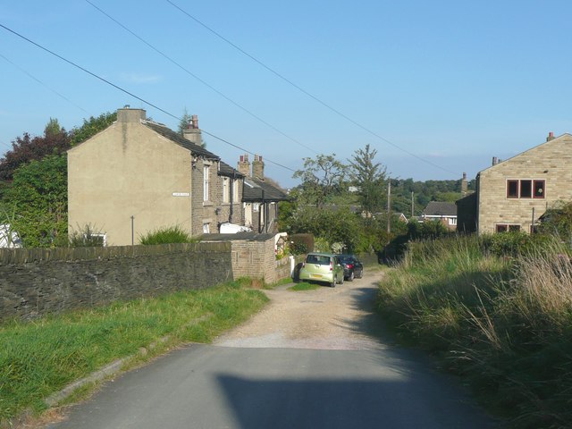
Image: © Humphrey Bolton Taken: 20 Sep 2008
See also Image The main difference seems to be that some trees on the right have been cut down.
Images are licensed for reuse under creativecommons.org/licenses/by-sa/2.0
Image Location
Latitude
53.684385
Longitude
-1.797074