Farm Track
Introduction
The photograph on this page of Farm Track by Trevor Harris as part of the Geograph project.
The Geograph project started in 2005 with the aim of publishing, organising and preserving representative images for every square kilometre of Great Britain, Ireland and the Isle of Man.

There are currently over 7.5m images from over 14,400 individuals and you can help contribute to the project by visiting https://www.geograph.org.uk
Farm Track
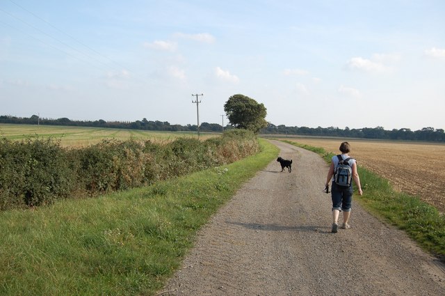
Image: © Trevor Harris Taken: 21 Sep 2008
A public footpath follows the route of this farm track from Brookhead Farm towards the former railway line marked by the trees in the distance.
Images are licensed for reuse under creativecommons.org/licenses/by-sa/2.0
Image Location
Latitude
51.712386
Longitude
0.657752