Houses in Slade Lane, Rastrick
Introduction
The photograph on this page of Houses in Slade Lane, Rastrick by Humphrey Bolton as part of the Geograph project.
The Geograph project started in 2005 with the aim of publishing, organising and preserving representative images for every square kilometre of Great Britain, Ireland and the Isle of Man.

There are currently over 7.5m images from over 14,400 individuals and you can help contribute to the project by visiting https://www.geograph.org.uk
Houses in Slade Lane, Rastrick
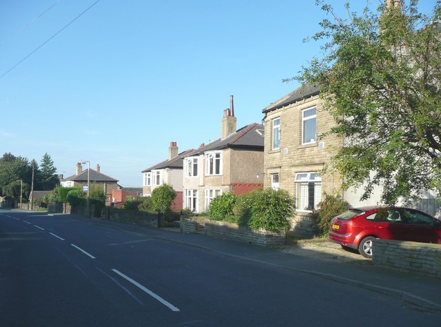
Image: © Humphrey Bolton Taken: 20 Sep 2008
These are houses on the east side of Slade Lane, south of Lower Fold. The nearest was built all on its own between 1910 and 1935, and the two pairs of semis between 1935 and 1940. These dates all approximate. The field was Plack Royd, if I have read the township map correctly.
Images are licensed for reuse under creativecommons.org/licenses/by-sa/2.0
Image Location
Latitude
53.684385
Longitude
-1.797074