Garlick Street, Rastrick
Introduction
The photograph on this page of Garlick Street, Rastrick by Humphrey Bolton as part of the Geograph project.
The Geograph project started in 2005 with the aim of publishing, organising and preserving representative images for every square kilometre of Great Britain, Ireland and the Isle of Man.

There are currently over 7.5m images from over 14,400 individuals and you can help contribute to the project by visiting https://www.geograph.org.uk
Garlick Street, Rastrick
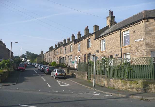
Image: © Humphrey Bolton Taken: 20 Sep 2008
This was built later than I expected. The street was laid out between the 1895 and 1910 maps, but the houses not built until after 1910. The field name was Green Piece.
Images are licensed for reuse under creativecommons.org/licenses/by-sa/2.0
Image Location
Latitude
53.684385
Longitude
-1.797074