Fording Butts Clough
Introduction
The photograph on this page of Fording Butts Clough by michael ely as part of the Geograph project.
The Geograph project started in 2005 with the aim of publishing, organising and preserving representative images for every square kilometre of Great Britain, Ireland and the Isle of Man.

There are currently over 7.5m images from over 14,400 individuals and you can help contribute to the project by visiting https://www.geograph.org.uk
Fording Butts Clough
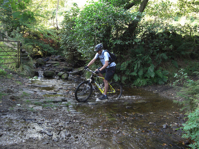
Image: © michael ely Taken: 21 Sep 2008
Here the byway Heys Lane fords the stream that issues from Ringstone Edge Reservoir. This is a delightful route to Ripponden with lovely views to the west over Rishworth.
Images are licensed for reuse under creativecommons.org/licenses/by-sa/2.0
Image Location
Latitude
53.657578
Longitude
-1.941707