Dickens Avenue
Introduction
The photograph on this page of Dickens Avenue by Martin Addison as part of the Geograph project.
The Geograph project started in 2005 with the aim of publishing, organising and preserving representative images for every square kilometre of Great Britain, Ireland and the Isle of Man.

There are currently over 7.5m images from over 14,400 individuals and you can help contribute to the project by visiting https://www.geograph.org.uk
Dickens Avenue
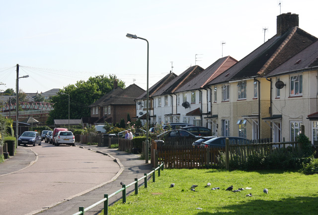
Image: © Martin Addison Taken: 20 Sep 2008
Semi-detached houses on this narrow cul-de-sac. The 1950's council style seems out of place amongst all the terraces in the rest of the area dating from the early 1900's. The pigeons are enjoying a siesta on the grass while two neighbours have a chat over the fence, probably about the weather. The girder bridge on the left carries a footpath over the A406 North Circular Road.
Images are licensed for reuse under creativecommons.org/licenses/by-sa/2.0
Image Location
Latitude
51.601163
Longitude
-0.1775