Ormeau Avenue, Belfast
Introduction
The photograph on this page of Ormeau Avenue, Belfast by Albert Bridge as part of the Geograph project.
The Geograph project started in 2005 with the aim of publishing, organising and preserving representative images for every square kilometre of Great Britain, Ireland and the Isle of Man.

There are currently over 7.5m images from over 14,400 individuals and you can help contribute to the project by visiting https://www.geograph.org.uk
Ormeau Avenue, Belfast
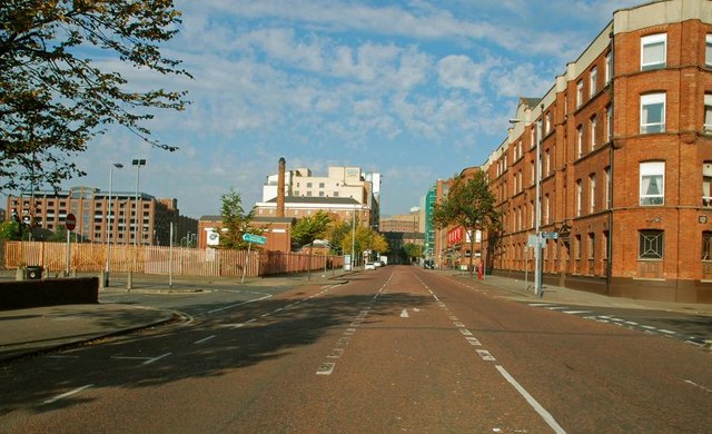
Image: © Albert Bridge Taken: 21 Sep 2008
Ormeau Avenue runs from the bottom of the Ormeau Road/Cromac Street to Bedford Street. Much improved (notably by the addition of a “Holiday Inn”), further improvement seems unlikely until a decision is taken not to proceed with the on/off/on etc inner ring road. The vacant ground (middle left, used as a car park) could then be sold for further development.
Images are licensed for reuse under creativecommons.org/licenses/by-sa/2.0
Image Location
Latitude
54.592447
Longitude
-5.928773