South Street
Introduction
The photograph on this page of South Street by Simon Carey as part of the Geograph project.
The Geograph project started in 2005 with the aim of publishing, organising and preserving representative images for every square kilometre of Great Britain, Ireland and the Isle of Man.

There are currently over 7.5m images from over 14,400 individuals and you can help contribute to the project by visiting https://www.geograph.org.uk
South Street
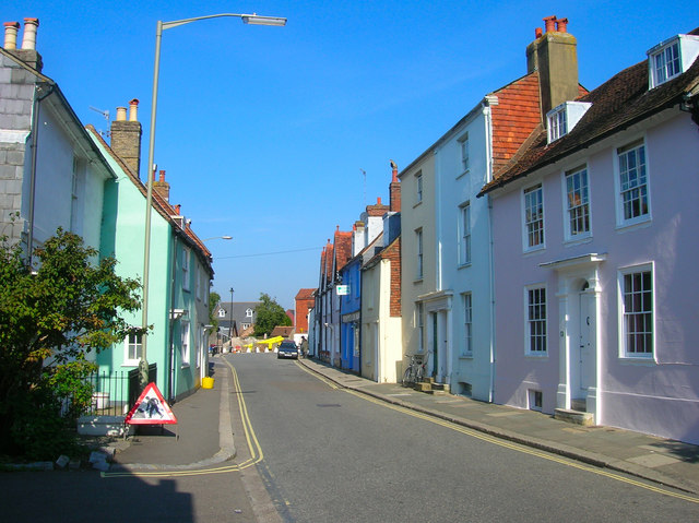
Image: © Simon Carey Taken: 20 Sep 2008
The former A27 now a sleepy backwater. Looking up towards the junction with Cliffe High Street.
Images are licensed for reuse under creativecommons.org/licenses/by-sa/2.0
Image Location
Latitude
50.874178
Longitude
0.019429