The Benagh Road near Kilkeel
Introduction
The photograph on this page of The Benagh Road near Kilkeel by Albert Bridge as part of the Geograph project.
The Geograph project started in 2005 with the aim of publishing, organising and preserving representative images for every square kilometre of Great Britain, Ireland and the Isle of Man.

There are currently over 7.5m images from over 14,400 individuals and you can help contribute to the project by visiting https://www.geograph.org.uk
The Benagh Road near Kilkeel
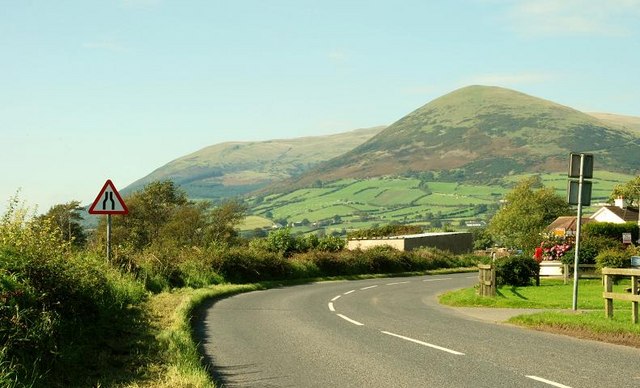
Image: © Albert Bridge Taken: 20 Sep 2008
A minor road, through flat countryside, close to Carlingford Lough (behind the hedge on the left). There is a convenient picnic site on the right The Mournes are in the background.
Images are licensed for reuse under creativecommons.org/licenses/by-sa/2.0
Image Location
Latitude
54.064496
Longitude
-6.099195