Ameracam Lane, Cranfield
Introduction
The photograph on this page of Ameracam Lane, Cranfield by Albert Bridge as part of the Geograph project.
The Geograph project started in 2005 with the aim of publishing, organising and preserving representative images for every square kilometre of Great Britain, Ireland and the Isle of Man.

There are currently over 7.5m images from over 14,400 individuals and you can help contribute to the project by visiting https://www.geograph.org.uk
Ameracam Lane, Cranfield
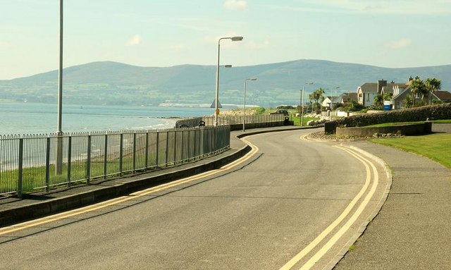
Image: © Albert Bridge Taken: 20 Sep 2008
See Image Ameracam Lane (cul-de-sac) runs along the shore beside Cranfield beach. The car park, toilets and (seasonal) lifeguard are out of picture to the right. This can be a busy spot during July and August.
Images are licensed for reuse under creativecommons.org/licenses/by-sa/2.0
Image Location
Latitude
54.03016
Longitude
-6.075884