Farmland south of Goldings Farm
Introduction
The photograph on this page of Farmland south of Goldings Farm by Graham Horn as part of the Geograph project.
The Geograph project started in 2005 with the aim of publishing, organising and preserving representative images for every square kilometre of Great Britain, Ireland and the Isle of Man.

There are currently over 7.5m images from over 14,400 individuals and you can help contribute to the project by visiting https://www.geograph.org.uk
Farmland south of Goldings Farm
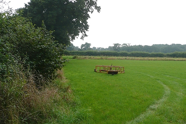
Image: © Graham Horn Taken: 31 Aug 2008
Wet pasture with a machine that I could not work out what it was.
Images are licensed for reuse under creativecommons.org/licenses/by-sa/2.0
Image Location
Latitude
52.411121
Longitude
1.631408