Old Course of A27
Introduction
The photograph on this page of Old Course of A27 by Simon Carey as part of the Geograph project.
The Geograph project started in 2005 with the aim of publishing, organising and preserving representative images for every square kilometre of Great Britain, Ireland and the Isle of Man.

There are currently over 7.5m images from over 14,400 individuals and you can help contribute to the project by visiting https://www.geograph.org.uk
Old Course of A27
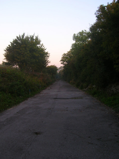
Image: © Simon Carey Taken: 20 Sep 2008
Until the mid 1970s this was the main A27. Once the Lewes by-pass and the Cuilfail Tunnel were built the old route through Southerham returned to either quite backwater lanes or were abandoned. For a while it was used as a permitted site for travellers for which bins and taps are still extant, however, the entrance on the A27 has now been completely blocked off.
Images are licensed for reuse under creativecommons.org/licenses/by-sa/2.0
Image Location
Latitude
50.863361
Longitude
0.031183