The base of the tower of St Michael the Archangel, Kirkby Malham
Introduction
The photograph on this page of The base of the tower of St Michael the Archangel, Kirkby Malham by John S Turner as part of the Geograph project.
The Geograph project started in 2005 with the aim of publishing, organising and preserving representative images for every square kilometre of Great Britain, Ireland and the Isle of Man.

There are currently over 7.5m images from over 14,400 individuals and you can help contribute to the project by visiting https://www.geograph.org.uk
The base of the tower of St Michael the Archangel, Kirkby Malham
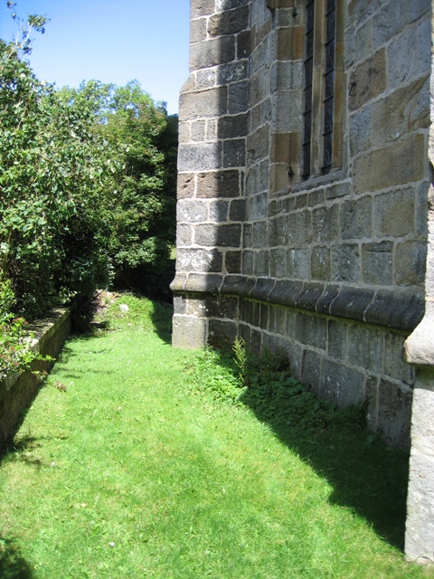
Image: © John S Turner Taken: 7 Aug 2007
Looking north across the west wall of the church at the base of the tower. Directly under the window, on the lowest course of stonework in the centre of the wall, there is a benchmark. See also Image
Images are licensed for reuse under creativecommons.org/licenses/by-sa/2.0
Image Location


Leaflet Map data © OpenStreetMap
Latitude
54.044768
Longitude
-2.163676