Cooks Close
Introduction
The photograph on this page of Cooks Close by Michael Murray as part of the Geograph project.
The Geograph project started in 2005 with the aim of publishing, organising and preserving representative images for every square kilometre of Great Britain, Ireland and the Isle of Man.

There are currently over 7.5m images from over 14,400 individuals and you can help contribute to the project by visiting https://www.geograph.org.uk
Cooks Close
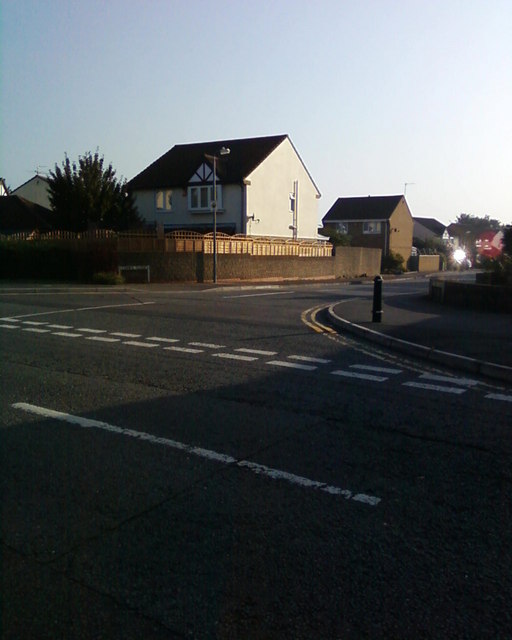
Image: © Michael Murray Taken: 20 Sep 2008
This is a Cul-de-Sac off Pear Tree Road in Bradley Stoke North.
Images are licensed for reuse under creativecommons.org/licenses/by-sa/2.0
Image Location
Latitude
51.545107
Longitude
-2.557734