Roman road through Middle Winterslow
Introduction
The photograph on this page of Roman road through Middle Winterslow by Graham Horn as part of the Geograph project.
The Geograph project started in 2005 with the aim of publishing, organising and preserving representative images for every square kilometre of Great Britain, Ireland and the Isle of Man.

There are currently over 7.5m images from over 14,400 individuals and you can help contribute to the project by visiting https://www.geograph.org.uk
Roman road through Middle Winterslow
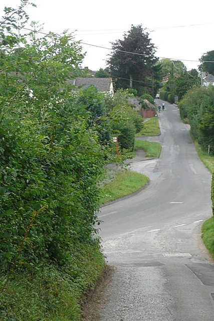
Image: © Graham Horn Taken: 16 Aug 2008
The status of the road changes a few times, but the route through the village is clearly a Roman one, when you know. This is the route from Winchester (Venta) to Old Sarum (Sorviodvnvm) and is traceable virtually throughout. The bus stop is more recent, and marks the edge of the square.
Images are licensed for reuse under creativecommons.org/licenses/by-sa/2.0
Image Location


Leaflet Map data © OpenStreetMap
Latitude
51.096529
Longitude
-1.658647