The Harbour at C?os
Introduction
The photograph on this page of The Harbour at C?os by phil smith as part of the Geograph project.
The Geograph project started in 2005 with the aim of publishing, organising and preserving representative images for every square kilometre of Great Britain, Ireland and the Isle of Man.

There are currently over 7.5m images from over 14,400 individuals and you can help contribute to the project by visiting https://www.geograph.org.uk
The Harbour at C?os
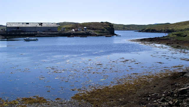
Image: © phil smith Taken: 13 May 2005
The harbour at the crofting community of Cèos is mostly used to support the fish farms in Loch Èireasort
Images are licensed for reuse under creativecommons.org/licenses/by-sa/2.0
Image Location


Leaflet Map data © OpenStreetMap
Latitude
58.103191
Longitude
-6.491271