2008 : The A350 at Beanacre
Introduction
The photograph on this page of 2008 : The A350 at Beanacre by Maurice Pullin as part of the Geograph project.
The Geograph project started in 2005 with the aim of publishing, organising and preserving representative images for every square kilometre of Great Britain, Ireland and the Isle of Man.

There are currently over 7.5m images from over 14,400 individuals and you can help contribute to the project by visiting https://www.geograph.org.uk
2008 : The A350 at Beanacre
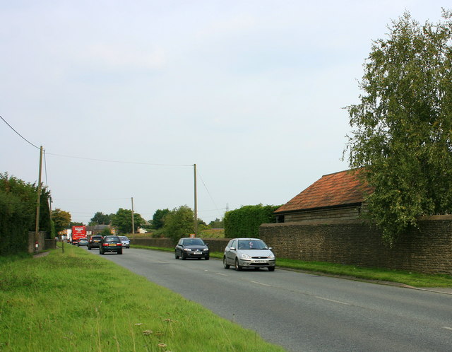
Image: © Maurice Pullin Taken: 16 Sep 2008
The A350 has just passed Lower Beanacre Farm 2.5km north of Melksham.
Images are licensed for reuse under creativecommons.org/licenses/by-sa/2.0
Image Location
Latitude
51.392415
Longitude
-2.139938