Wretchwick-Gavray-Charbridge Lane Roundabout
Introduction
The photograph on this page of Wretchwick-Gavray-Charbridge Lane Roundabout by Steve Newman as part of the Geograph project.
The Geograph project started in 2005 with the aim of publishing, organising and preserving representative images for every square kilometre of Great Britain, Ireland and the Isle of Man.

There are currently over 7.5m images from over 14,400 individuals and you can help contribute to the project by visiting https://www.geograph.org.uk
Wretchwick-Gavray-Charbridge Lane Roundabout
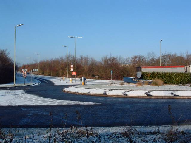
Image: © Steve Newman Taken: 28 Dec 2005
Bicester's eastern loop road from Charbridge Lane (right) into Wretchwick Way (left) passing the access road (Gavray Drive) into the newer part of Langford Village.
Images are licensed for reuse under creativecommons.org/licenses/by-sa/2.0
Image Location
Latitude
51.888782
Longitude
-1.122326