
The Car Dyke near Thurlby
Introduction
The photograph on this page of The Car Dyke near Thurlby by Tony Atkin as part of the Geograph project.
The Geograph project started in 2005 with the aim of publishing, organising and preserving representative images for every square kilometre of Great Britain, Ireland and the Isle of Man.

There are currently over 7.5m images from over 14,400 individuals and you can help contribute to the project by visiting https://www.geograph.org.uk
The Car Dyke near Thurlby
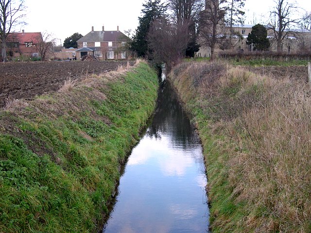
Image: © Tony Atkin Taken: 26 Dec 2005
The Car Dyke is a small fenland ditch with huge historical significance. It skirts the edge of the fenlands and is 122km long. It is generally accepted as having been dug in Roman times. It is likely that its purpose was to stop salt water inundation and help to drain land between the dyke and the edge of the fenland thus turning fens into highly productive agricultural land. More recent and much larger drainage schemes have turned almost the whole of the fens into agricultural land but the car dyke still serves a purpose as part of the fenland drainage system. The word "car" is a north Lincolnshire term for low lying land apt to be inundated by flooding or tides. The more generally recognised word "fen" is a south Lincolnshire term.
Images are licensed for reuse under creativecommons.org/licenses/by-sa/2.0
Image Location

Latitude
52.736671
Longitude
-0.366308