Hursley Park Road, IBM Hursley Laboratory
Introduction
The photograph on this page of Hursley Park Road, IBM Hursley Laboratory by Peter Facey as part of the Geograph project.
The Geograph project started in 2005 with the aim of publishing, organising and preserving representative images for every square kilometre of Great Britain, Ireland and the Isle of Man.

There are currently over 7.5m images from over 14,400 individuals and you can help contribute to the project by visiting https://www.geograph.org.uk
Hursley Park Road, IBM Hursley Laboratory
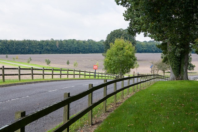
Image: © Peter Facey Taken: 18 Sep 2008
In left distance is the drive to Hursley Home Farm. See http://www-05.ibm.com/uk/locations/hursley.html Access by kind permission of IBM United Kingdom Limited.
Images are licensed for reuse under creativecommons.org/licenses/by-sa/2.0
Image Location


Leaflet Map data © OpenStreetMap
Latitude
51.024645
Longitude
-1.403094