Upper Neeston Farm
Introduction
The photograph on this page of Upper Neeston Farm by nantcoly as part of the Geograph project.
The Geograph project started in 2005 with the aim of publishing, organising and preserving representative images for every square kilometre of Great Britain, Ireland and the Isle of Man.

There are currently over 7.5m images from over 14,400 individuals and you can help contribute to the project by visiting https://www.geograph.org.uk
Upper Neeston Farm
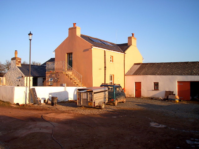
Image: © nantcoly Taken: 28 Dec 2005
Upper Neeston Farm is a typical small Pembrokeshire farm raising lambs and pigs and to be viable now has a bunkhouse for tourists.
Images are licensed for reuse under creativecommons.org/licenses/by-sa/2.0
Image Location
Latitude
51.727716
Longitude
-5.075512