An uphill view of the Woodlands Road (1)
Introduction
The photograph on this page of An uphill view of the Woodlands Road (1) by Chris' Buet as part of the Geograph project.
The Geograph project started in 2005 with the aim of publishing, organising and preserving representative images for every square kilometre of Great Britain, Ireland and the Isle of Man.

There are currently over 7.5m images from over 14,400 individuals and you can help contribute to the project by visiting https://www.geograph.org.uk
An uphill view of the Woodlands Road (1)
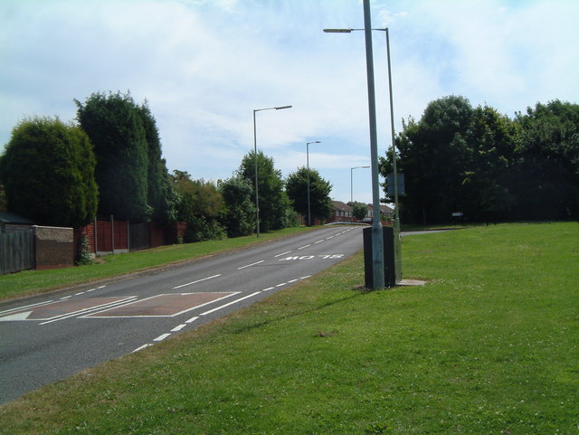
Image: © Chris' Buet Taken: 1 Jul 2008
This photograph shows an uphill view of Woodland Road passing a street called Clematis, and continuing into the distance, where it passes the streets Brookweed and Briar. A street called Cornel is not far behind me, which is shown in this photograph Image
Images are licensed for reuse under creativecommons.org/licenses/by-sa/2.0
Image Location
Latitude
52.627962
Longitude
-1.660457