Harmood House, Harmood Street, London NW1
Introduction
The photograph on this page of Harmood House, Harmood Street, London NW1 by Christine Matthews as part of the Geograph project.
The Geograph project started in 2005 with the aim of publishing, organising and preserving representative images for every square kilometre of Great Britain, Ireland and the Isle of Man.

There are currently over 7.5m images from over 14,400 individuals and you can help contribute to the project by visiting https://www.geograph.org.uk
Harmood House, Harmood Street, London NW1
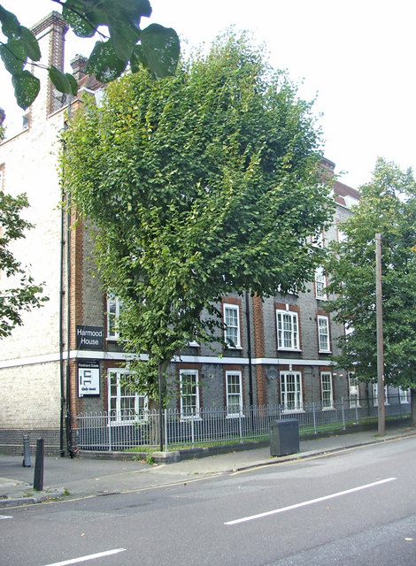
Image: © Christine Matthews Taken: 18 Sep 2008
Harmood House is an block of flats in Harmood Street on the west side just past Clarence Way.
Images are licensed for reuse under creativecommons.org/licenses/by-sa/2.0
Image Location


Leaflet Map data © OpenStreetMap
Latitude
51.544659
Longitude
-0.146732