Lumber Lane
Introduction
The photograph on this page of Lumber Lane by Pauline E as part of the Geograph project.
The Geograph project started in 2005 with the aim of publishing, organising and preserving representative images for every square kilometre of Great Britain, Ireland and the Isle of Man.

There are currently over 7.5m images from over 14,400 individuals and you can help contribute to the project by visiting https://www.geograph.org.uk
Lumber Lane
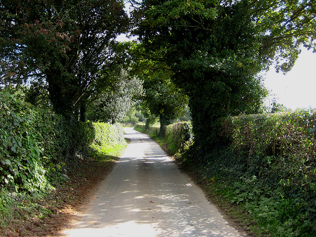
Image: © Pauline E Taken: 19 Sep 2008
Heading for Lugwardine from the A4103. Judging from the number of vans I passed on this narrow lane, it seems to be a bit of a rat run.
Images are licensed for reuse under creativecommons.org/licenses/by-sa/2.0
Image Location
Latitude
52.075859
Longitude
-2.660482