Lane leading to Pont Alun
Introduction
The photograph on this page of Lane leading to Pont Alun by Richard Knights as part of the Geograph project.
The Geograph project started in 2005 with the aim of publishing, organising and preserving representative images for every square kilometre of Great Britain, Ireland and the Isle of Man.

There are currently over 7.5m images from over 14,400 individuals and you can help contribute to the project by visiting https://www.geograph.org.uk
Lane leading to Pont Alun
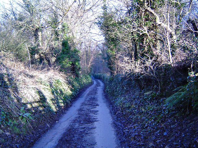
Image: © Richard Knights Taken: 25 Dec 2005
The way to the Alun valley means travelling down steepish wooded lanes like this. Picture taken at 12.00 noon.
Images are licensed for reuse under creativecommons.org/licenses/by-sa/2.0
Image Location
Latitude
51.458851
Longitude
-3.57749