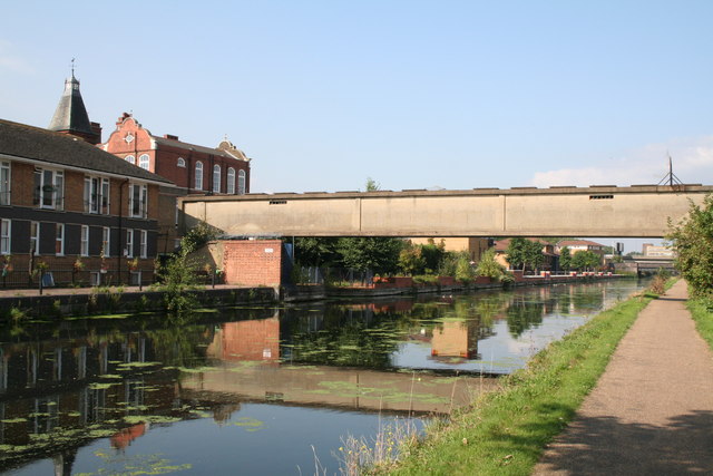
Lee Navigation: old concrete footbridge
Introduction
The photograph on this page of Lee Navigation: old concrete footbridge by Dr Neil Clifton as part of the Geograph project.
The Geograph project started in 2005 with the aim of publishing, organising and preserving representative images for every square kilometre of Great Britain, Ireland and the Isle of Man.
There are currently over 7.5m images from over 14,400 individuals and you can help contribute to the project by visiting https://www.geograph.org.uk

Image: © Dr Neil Clifton Taken: 18 Sep 2008
I do not know what the original purpose of this unattractive structure was: it is totally enclosed and is now out of use, presumably awaiting demolition. I can only surmise that it may have been used by pupils at the school (left) to access sports fields on the eastern side of the cut. The school itself is a large and attractive building, but surrounding buildings prevent an effective photograph of it.

