Kings Head, Norton
Introduction
The photograph on this page of Kings Head, Norton by Pauline E as part of the Geograph project.
The Geograph project started in 2005 with the aim of publishing, organising and preserving representative images for every square kilometre of Great Britain, Ireland and the Isle of Man.

There are currently over 7.5m images from over 14,400 individuals and you can help contribute to the project by visiting https://www.geograph.org.uk
Kings Head, Norton
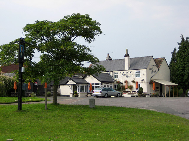
Image: © Pauline E Taken: 18 Sep 2008
On the A38 between Gloucester and Tewkesbury.
Images are licensed for reuse under creativecommons.org/licenses/by-sa/2.0
Image Location
Latitude
51.915604
Longitude
-2.208294