Stafford Common
Introduction
The photograph on this page of Stafford Common by Simon Huguet as part of the Geograph project.
The Geograph project started in 2005 with the aim of publishing, organising and preserving representative images for every square kilometre of Great Britain, Ireland and the Isle of Man.

There are currently over 7.5m images from over 14,400 individuals and you can help contribute to the project by visiting https://www.geograph.org.uk
Stafford Common
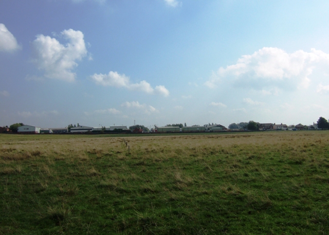
Image: © Simon Huguet Taken: 18 Sep 2008
Looking across Stafford Common towards the Astonfields Industrial Estate. Current development proposals for Stafford include potential land for houses identified as '149 acres off Stone Road'. Could this be it?
Images are licensed for reuse under creativecommons.org/licenses/by-sa/2.0
Image Location
Latitude
52.823729
Longitude
-2.120756