The A35 at Kingston Russell
Introduction
The photograph on this page of The A35 at Kingston Russell by Nigel Mykura as part of the Geograph project.
The Geograph project started in 2005 with the aim of publishing, organising and preserving representative images for every square kilometre of Great Britain, Ireland and the Isle of Man.

There are currently over 7.5m images from over 14,400 individuals and you can help contribute to the project by visiting https://www.geograph.org.uk
The A35 at Kingston Russell
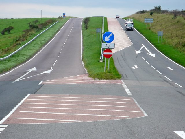
Image: © Nigel Mykura Taken: 17 Sep 2008
Looking west at the start of the dual carriageway from just inside the eastern edge of the grid square.
Images are licensed for reuse under creativecommons.org/licenses/by-sa/2.0
Image Location


Leaflet Map data © OpenStreetMap
Latitude
50.720075
Longitude
-2.612333