Parkstone Yacht Club breakwater
Introduction
The photograph on this page of Parkstone Yacht Club breakwater by Graham Horn as part of the Geograph project.
The Geograph project started in 2005 with the aim of publishing, organising and preserving representative images for every square kilometre of Great Britain, Ireland and the Isle of Man.

There are currently over 7.5m images from over 14,400 individuals and you can help contribute to the project by visiting https://www.geograph.org.uk
Parkstone Yacht Club breakwater
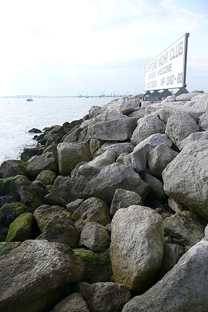
Image: © Graham Horn Taken: 17 Sep 2008
A precarious landing by boat on the rocks of the breakwater that surrounds the yacht club. Only about 10 metres of land are in this square; these rocks, and the sign and nothing else.
Images are licensed for reuse under creativecommons.org/licenses/by-sa/2.0
Image Location


Leaflet Map data © OpenStreetMap
Latitude
50.709538
Longitude
-1.960434