Victoria Road and junction of Sondes Road
Introduction
The photograph on this page of Victoria Road and junction of Sondes Road by Nick Smith as part of the Geograph project.
The Geograph project started in 2005 with the aim of publishing, organising and preserving representative images for every square kilometre of Great Britain, Ireland and the Isle of Man.

There are currently over 7.5m images from over 14,400 individuals and you can help contribute to the project by visiting https://www.geograph.org.uk
Victoria Road and junction of Sondes Road
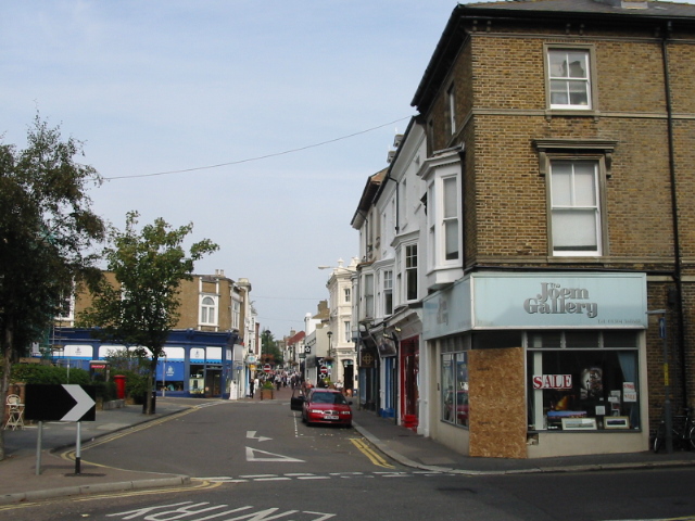
Image: © Nick Smith Taken: 17 Sep 2008
Victoria Road continues as far as High Street at the blue fronted shop but because of the traffic control measures it appears to end here where it becomes Sondes Road.
Images are licensed for reuse under creativecommons.org/licenses/by-sa/2.0
Image Location


Leaflet Map data © OpenStreetMap
Latitude
51.222174
Longitude
1.402736