Burst Water Main
Introduction
The photograph on this page of Burst Water Main by Richard Croft as part of the Geograph project.
The Geograph project started in 2005 with the aim of publishing, organising and preserving representative images for every square kilometre of Great Britain, Ireland and the Isle of Man.

There are currently over 7.5m images from over 14,400 individuals and you can help contribute to the project by visiting https://www.geograph.org.uk
Burst Water Main
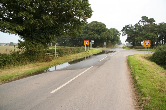
Image: © Richard Croft Taken: 17 Sep 2008
Standing water in dry weather at Five Lane Ends - diagnosed later today as a burst water main
Images are licensed for reuse under creativecommons.org/licenses/by-sa/2.0
Image Location
Latitude
53.247001
Longitude
-0.674261