Boundary of the Cities of Westminster and London at Devereux Court
Introduction
The photograph on this page of Boundary of the Cities of Westminster and London at Devereux Court by Basher Eyre as part of the Geograph project.
The Geograph project started in 2005 with the aim of publishing, organising and preserving representative images for every square kilometre of Great Britain, Ireland and the Isle of Man.

There are currently over 7.5m images from over 14,400 individuals and you can help contribute to the project by visiting https://www.geograph.org.uk
Boundary of the Cities of Westminster and London at Devereux Court
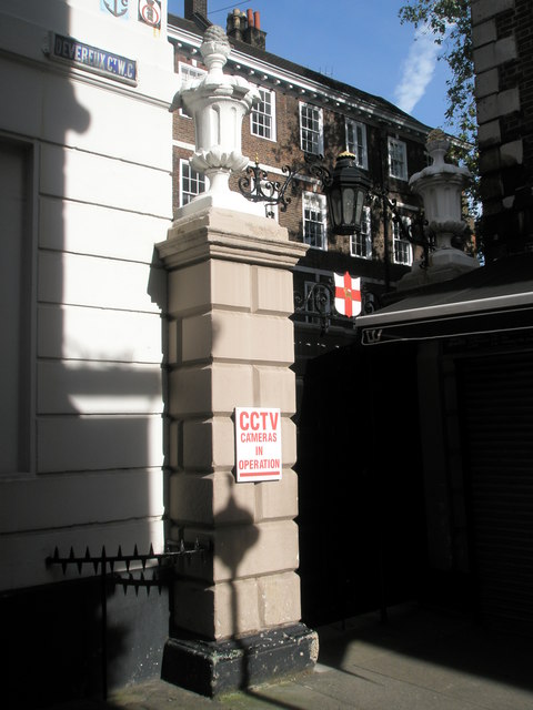
Image: © Basher Eyre Taken: 14 Sep 2008
Named after Robert Devereux, Earl of Essex, whose townhouse was demolished in 1670. A bust of the great man looks down from the eponymous pub. Long, D. (2021). London’s Secret Square Mile. 2nd ed. Cheltenham: The History Press.
Images are licensed for reuse under creativecommons.org/licenses/by-sa/2.0
Image Location
Latitude
51.513244
Longitude
-0.110968