House and Farm track at Tatton
Introduction
The photograph on this page of House and Farm track at Tatton by Nigel Mykura as part of the Geograph project.
The Geograph project started in 2005 with the aim of publishing, organising and preserving representative images for every square kilometre of Great Britain, Ireland and the Isle of Man.

There are currently over 7.5m images from over 14,400 individuals and you can help contribute to the project by visiting https://www.geograph.org.uk
House and Farm track at Tatton
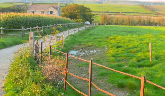
Image: © Nigel Mykura Taken: 15 Sep 2008
Looking N towards Shilvinghampton from the Buckland Ripers road
Images are licensed for reuse under creativecommons.org/licenses/by-sa/2.0
Image Location


Leaflet Map data © OpenStreetMap
Latitude
50.646743
Longitude
-2.528921