Faringdon Road, Swindon
Introduction
The photograph on this page of Faringdon Road, Swindon by Brian Robert Marshall as part of the Geograph project.
The Geograph project started in 2005 with the aim of publishing, organising and preserving representative images for every square kilometre of Great Britain, Ireland and the Isle of Man.

There are currently over 7.5m images from over 14,400 individuals and you can help contribute to the project by visiting https://www.geograph.org.uk
Faringdon Road, Swindon
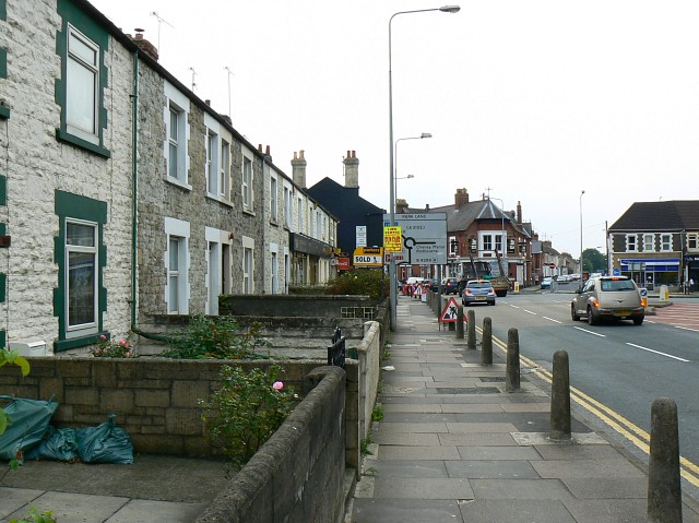
Image: © Brian Robert Marshall Taken: 16 Sep 2008
Faringdon Road is one of the strategic intra-Swindon traffic routes as well as providing the main corridor into the centre of the town from the west, the direction in which we are facing. The houses at the left are relatively unusual for Victorian Swindon in that they are stone- rather than brick-built. The pub in the background is now the Bar12, formerly The Ship.
Images are licensed for reuse under creativecommons.org/licenses/by-sa/2.0
Image Location
Latitude
51.558484
Longitude
-1.795122