Farmhouse at Brearley, near Littleborough
Introduction
The photograph on this page of Farmhouse at Brearley, near Littleborough by michael ely as part of the Geograph project.
The Geograph project started in 2005 with the aim of publishing, organising and preserving representative images for every square kilometre of Great Britain, Ireland and the Isle of Man.

There are currently over 7.5m images from over 14,400 individuals and you can help contribute to the project by visiting https://www.geograph.org.uk
Farmhouse at Brearley, near Littleborough
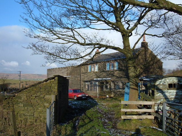
Image: © michael ely Taken: 28 Dec 2005
This farmhouse, in need of some tlc, is situated above the Ealees Valley on the route of the Rochdale Way, a circular walk around the borough.
Images are licensed for reuse under creativecommons.org/licenses/by-sa/2.0
Image Location


Leaflet Map data © OpenStreetMap
Latitude
53.633295
Longitude
-2.083136