Building Plot at Regent Park
Introduction
The photograph on this page of Building Plot at Regent Park by Roger May as part of the Geograph project.
The Geograph project started in 2005 with the aim of publishing, organising and preserving representative images for every square kilometre of Great Britain, Ireland and the Isle of Man.

There are currently over 7.5m images from over 14,400 individuals and you can help contribute to the project by visiting https://www.geograph.org.uk
Building Plot at Regent Park
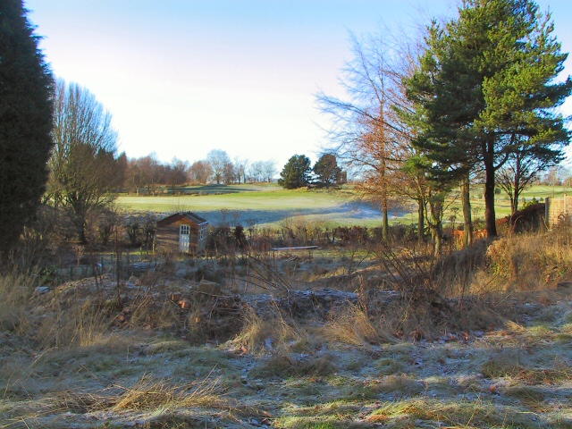
Image: © Roger May Taken: 28 Dec 2005
With a view to the west across the municipal golf course, this building plot with detailed planning permission for a large dwelling would set you back about half a million pounds.
Images are licensed for reuse under creativecommons.org/licenses/by-sa/2.0
Image Location
Latitude
53.57564
Longitude
-2.502861