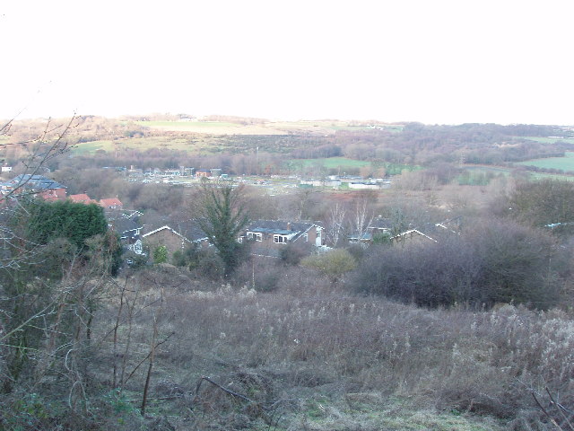
Houses in Durham
Introduction
The photograph on this page of Houses in Durham by David Hawgood as part of the Geograph project.
The Geograph project started in 2005 with the aim of publishing, organising and preserving representative images for every square kilometre of Great Britain, Ireland and the Isle of Man.
There are currently over 7.5m images from over 14,400 individuals and you can help contribute to the project by visiting https://www.geograph.org.uk

Image: © David Hawgood Taken: 23 Dec 2005
These houses are at the beginning of the promontory of land which ends with the rock on which Durham Cathedral is built within a loop of the river Wear. Beyond the houses, and across the river, is a sewage works and further away Framwellgate Moor. The rough ground in the foreground was once alongside a railway, now replaced by the A690 road.

