Farmland behind sand dunes, Formby
Introduction
The photograph on this page of Farmland behind sand dunes, Formby by David Hawgood as part of the Geograph project.
The Geograph project started in 2005 with the aim of publishing, organising and preserving representative images for every square kilometre of Great Britain, Ireland and the Isle of Man.

There are currently over 7.5m images from over 14,400 individuals and you can help contribute to the project by visiting https://www.geograph.org.uk
Farmland behind sand dunes, Formby
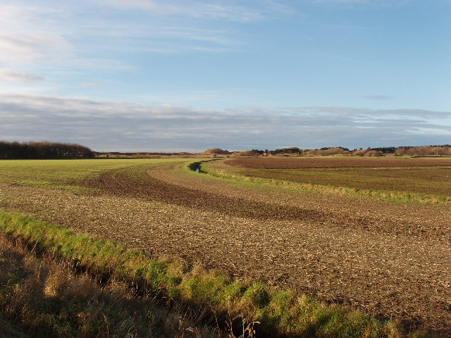
Image: © David Hawgood Taken: 26 Dec 2005
The sand dunes beyond the field are Raven Meols Hills. The beach is just beyond them. Taken looking West from the footpath along the edge of Altcar Rifle Range.
Images are licensed for reuse under creativecommons.org/licenses/by-sa/2.0
Image Location


Leaflet Map data © OpenStreetMap
Latitude
53.540411
Longitude
-3.07435