Dunlop Hill
Introduction
The photograph on this page of Dunlop Hill by Chris Court as part of the Geograph project.
The Geograph project started in 2005 with the aim of publishing, organising and preserving representative images for every square kilometre of Great Britain, Ireland and the Isle of Man.

There are currently over 7.5m images from over 14,400 individuals and you can help contribute to the project by visiting https://www.geograph.org.uk
Dunlop Hill
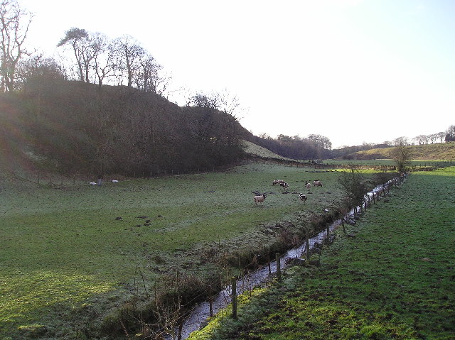
Image: © Chris Court Taken: 27 Dec 2005
Field to the northeast of Dunlop Hill still showing signs of earlier frost. The north slope of Dunlop Hill is in the centre of the photograph which was taken from Blackburn Bridge.
Images are licensed for reuse under creativecommons.org/licenses/by-sa/2.0
Image Location


Leaflet Map data © OpenStreetMap
Latitude
55.711582
Longitude
-4.546698