Daisyfield cornmill, Blackburn
Introduction
The photograph on this page of Daisyfield cornmill, Blackburn by Chris Allen as part of the Geograph project.
The Geograph project started in 2005 with the aim of publishing, organising and preserving representative images for every square kilometre of Great Britain, Ireland and the Isle of Man.

There are currently over 7.5m images from over 14,400 individuals and you can help contribute to the project by visiting https://www.geograph.org.uk
Daisyfield cornmill, Blackburn
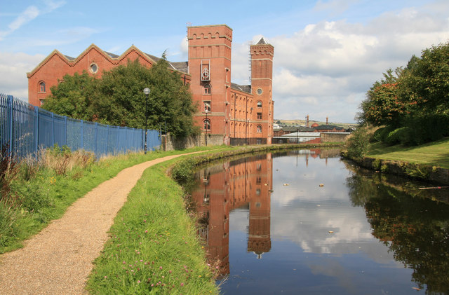
Image: © Chris Allen Taken: 14 Sep 2008
Mid to late 19th century cornmill built in two phases and now adaptively reused as business units. The external engine house and chimney have been lost. The water is the Leeds & Liverpool Canal.
Images are licensed for reuse under creativecommons.org/licenses/by-sa/2.0
Image Location
Latitude
53.751595
Longitude
-2.467199